P.Z. 02-2019 Highland on Conway (14880 Conway Road)
NOTICE IS HEREBY GIVEN that the Planning Commission of the City of Chesterfield will hold a Public Hearing on Monday, March 25, 2019 at 7:00 p.m. in the Council Chambers at Chesterfield City Hall, 690 Chesterfield Parkway West, Chesterfield Missouri 63017.
Said Hearing will be as follows:
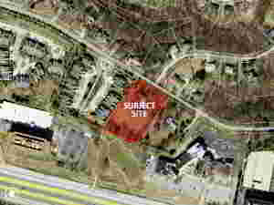
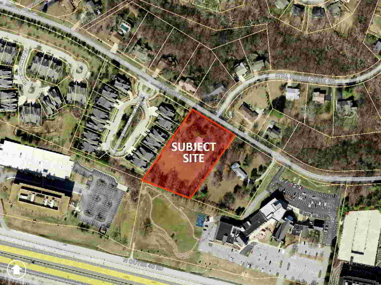
P.Z. 02-2019 Highland on Conway (14880 Conway Road): A request for a zoning map amendment from the “NU” Non-Urban District to the “R-4” Residence District for a 2.14 acre tract of land located on the south side of Conway Road at its intersection with Still House Creek Road (18R120324).
For a larger image of the site, please click HERE.
Anyone interested in the proceedings will be given an opportunity to be heard. Copies of the request are available for review in the Department of Planning & Development Services at Chesterfield City Hall, 690 Chesterfield Parkway West during weekdays between the hours of 8:30 a.m. and 4:30 p.m. If you should need additional information about this project, or for a list of requested uses, please contact Mr. Andrew Stanislav, Planner, by telephone at 636-537-4738 or by email at astanislav@chesterfield.mo.us.
CITY OF CHESTERFIELD
Merrell Hansen, Chair
Chesterfield Planning Commission
PROPERTY DESCRIPTION
A tract of land being part of U.S. Surveys 366 and 370, Township 45 North, Range 4 East, St. Louis County, Missouri and being more particularly described as follows:
Beginning at the northwest corner of Lot 5 of “Highland on Conway Plat No.1”, a subdivision recorded in plat book 83 page 23 of the St. Louis County Records, said point being in the southern right of way line of Conway Road (width varies); thence along said southern right of way line north 58 degrees 34 minutes 52 seconds east, a distance of 240.00 feet to the northwest corner of property conveyed to James J. and Barbara S. Walsh, Trustees in the Walsh Living Trust in book 18414 page 3162 of said county records; thence along the western line of said Walsh Trust Property south 35 degrees 17 minutes 00 seconds west, a distance of 367.36 feet to a point in the northern line of Lot 9 of said Highland on Conway Plat No.1; thence along said north line of said Lot 9 north 69 degrees 12 minutes 00 seconds west, a distance of 247.31 feet to the southeast corner of “Conway on the Grove”, a subdivision recorded in plat book 351 pages 571-572 of said county records; thence along the eastern line of said Conway on the Grove and a prolongation thereof north 35 degrees 17 minutes 00 seconds east, a distance of 413.03 feet to the point of beginning containing 2.14 acres, more or less.